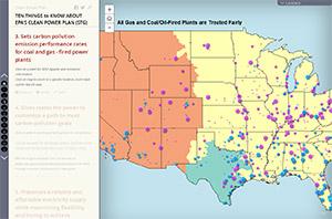
Power plants account for nearly 40 percent of the carbon pollution produced in Minnesota. The Clean Power Plan, recently announced by the Environmental Protection Agency, sets the first-ever national standards for reducing carbon pollution from power plants and lets states determine how to get there.
Minnesota’s clean energy economy is one of the strongest in the nation, and a strong Clean Power Plan is an opportunity to build on that progress – growing businesses and creating jobs, while reducing pollutants that harm our air, our water, and our health.
Benefits
- Clean energy from solar and wind power emits no mercury pollution that harms the development of our kids. Clean energy – and the Clean Power Plan – keeps Minnesota waters clean.
- The Clean Power Plan will cut dangerous air pollution from power plants, avoiding 3,600 premature deaths and 90,000 asthma attacks in children.
- The Clean Power Plan could increase Minnesota clean energy jobs to 35,000 by the year 2030.
- Every credible study finds that the Clean Power Plan will lower electric bills. Consumers will see modest, but real, savings – provided that states take smart approaches to cutting carbon pollution.
-
Minnesota has nation-leading wind, solar, and energy conservation policies that position our state to meet the Clean Power Plan while continuing to grow clean energy jobs. In fact, we are already half way to the 2030 goals.